Pilot Information


Eastern Slope Airport - IZG
Facilities
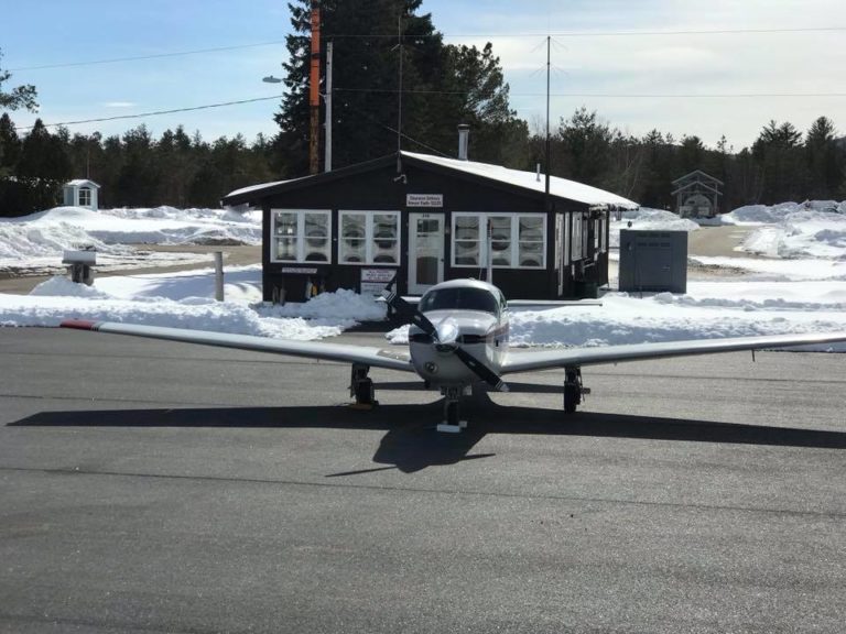
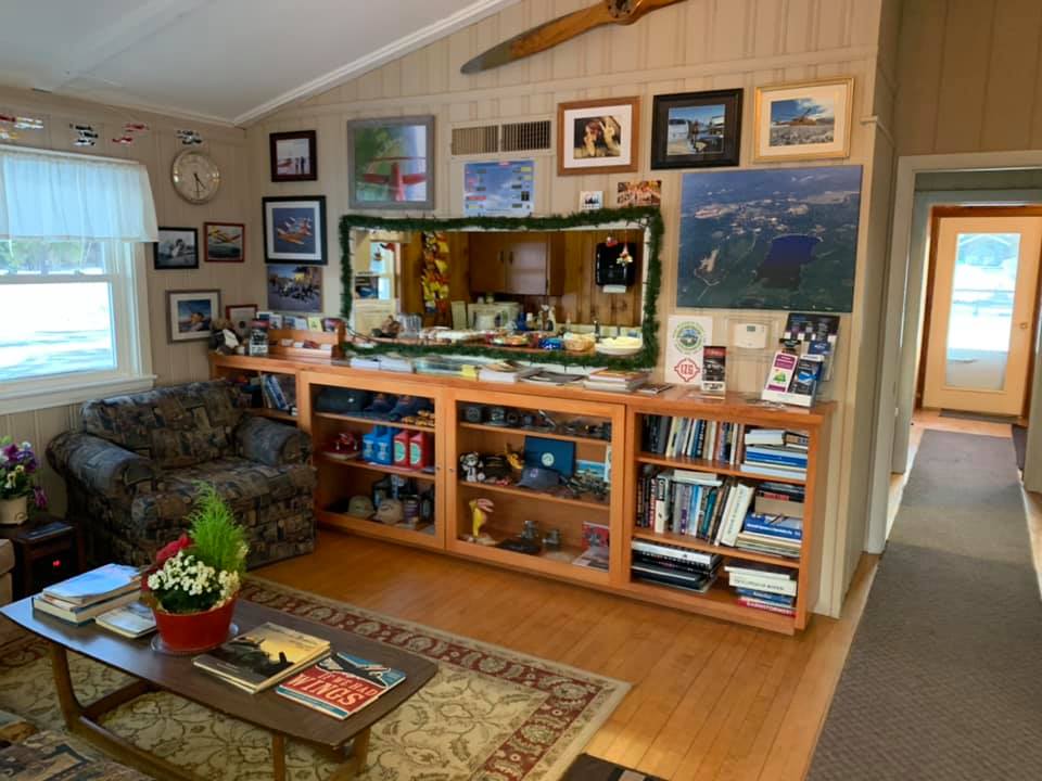
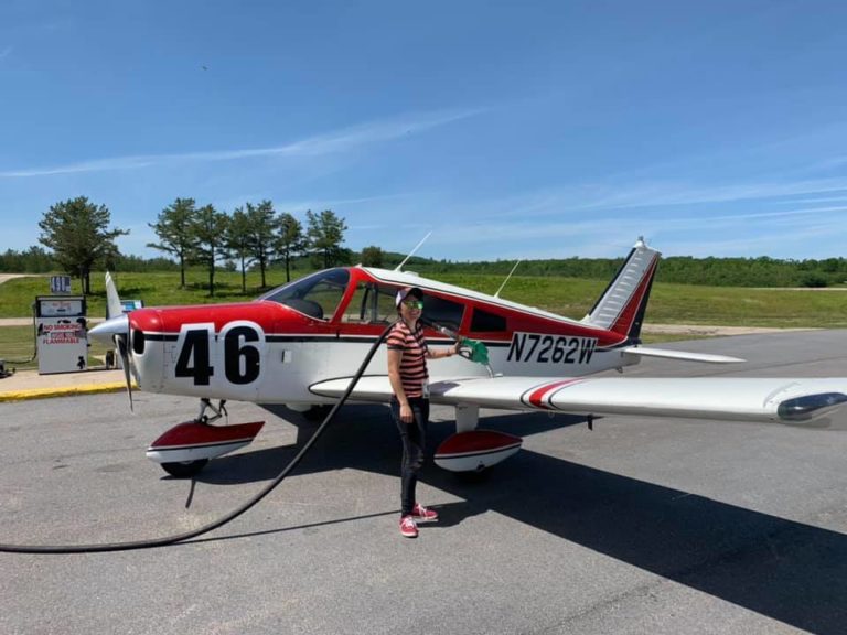
The Eastern Slope Regional Airport’s passenger terminal and pilot’s lounge is open 24/7 356 days of the year for your convenience. The terminal offers wifi, access to our courtesy truck, self serve aviation fuel and jet fuel upon request, aircraft ground handling, ramp and tie down parking, and hangar leasing.
Services
Lorem ipsum dolor sit amet elit, sed do eiusmod tempor incididunt ut labore et dolore magna aliqua.

Courtesy Truck
We offer a courtesy truck for our visitors. This crew cab pickup seats 5 and is perfect for short trips into town to get a meal or groceries, pick up a rental car, or see some local sights. This vehicle is provided at no cost to our visitors, but to help defray the cost, donations are welcome and encouraged.

Aviation Fuel Services
Find the most up to date aviation fuel prices for IZG - Eastern Slope Regional Airport on Airnav. Prices Updated 7/21/2020


Runway Information
Both Runway 14 and Runway 32 have these attributes:
Dimensions: 4200 x 75 ft. / 1280 x 23 m
Surface: asphalt, in good condition
Weight bearing capacity: Single wheel 30
Runway Edge Lights: Medium Intensity
Runway 14
Latitude: 43-59.673623N
Longitude: 070-57.257575W
Elevation: 454.5 ft.
Traffic Pattern: Left
Runway Heading: 143 magnetic, 126 true
Markings: Basic, in good condition
Visual Slope Indicator: None
Runway End Identifier Lights: None
Touchdown Point: Yes, No Lights
Obstructions: non
+2 FT-+6FT BRUSH AND TREES 30FT-60FTFM THR, 155FT-250 FT Right of CNTRLN
Runway 32
Latitude: 43-59.262880N
Longitude: 070-56.487557W
Elevation: 420.2 ft.
Traffic Pattern: Left
Runway Heading: 323 magnetic, 306 true
Markings: nonprecision, in good condition
Visual Slope Indicator: 2-box VASI on left (3.00 degrees glide path) VASI UNUSBL BYD 7.0 DEGS LEFT OF CNTRLN
Runway End Identifier Lights: Yes
Touchdown Point: Yes, No Lights
Obstructions: 64 ft. trees, 2280 ft. from runway, 200 ft. left of centerline, 32:1 slope to clear

Location Information
FAA Identifier: IZG | IATA: FRY
Lat/Long:
- 43-59-28.1000N 070-56-52.4000W
- 43-59.468333N 070-56.873333W
- 43.9911389,-70.9478889 (estimated)
Elevation: 454.6ft / 138.6m (surveyed)
Variation: 17W (1995)
From city: 3 miles SE of Fryeburg, ME
Time Zone: UTC -4 (UTC -5 during Standard Time)
Zip code: 04037
Contact Us
Find Us
Lyman Drive
PO Box 334
Fryeburg, ME 04037

